Real-Time Global Air Traffic Visualization
Context
A personal data-collection and visualization tool that captures global aircraft positions over time and turns them into reusable datasets for exploratory analysis. The project combines automation (scheduled data collection), storage, and rendering logic to study traffic density, temporal patterns, and anomalies through lightweight map and canvas views.
My role
- Data analysis
I designed and implemented the full prototype, from data capture logic to storage format and initial visualization-oriented outputs, with a strong focus on speed and practical newsroom reuse.
Data and methodology
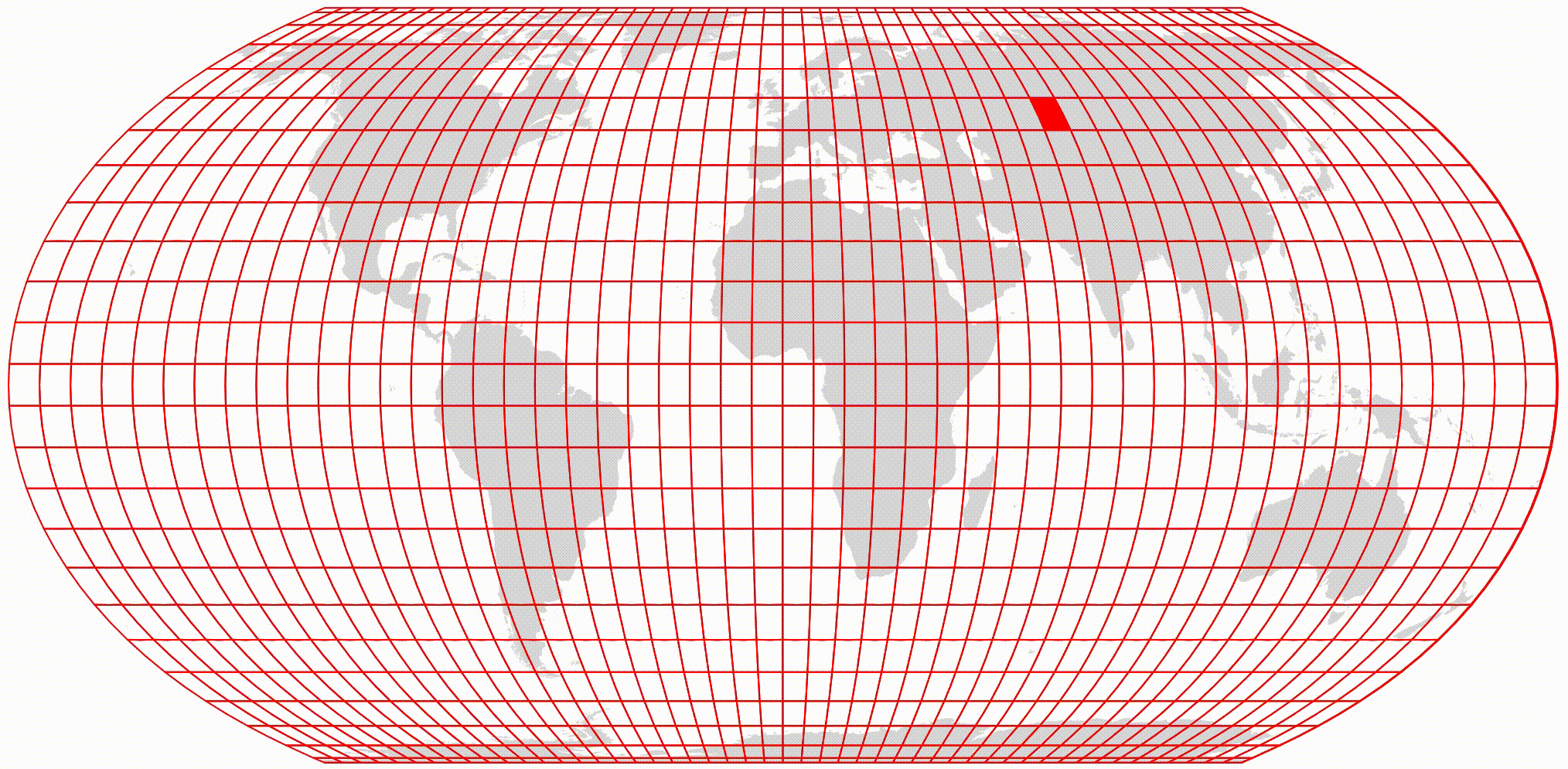
The workflow uses GitHub Actions to query aircraft position data repeatedly and export snapshots as CSV files that can later be analyzed or merged into event timelines.
To maximize detail, I iterated over a spatial grid and requested data cell by cell, because providers return denser information only at finer zoom levels.
Key decisions
- I prioritized a minimal and reproducible architecture so the tool could be built quickly and reused in future reporting workflows.
- The project deliberately favored fast implementation over full infrastructure, which made it easy to launch but exposed storage limits as data volume grew.
- When repository space became a constraint, I paused the workflow rather than degrade data quality, with the intention of moving storage to a more robust external setup later.
Result
The result is a functional data-capture utility that can reconstruct aviation-related events through timestamped position snapshots at global scale.
Impact and learnings
- Despite being developed in only a few hours, the tool has already been reused in later projects, confirming its editorial utility.
- It also highlighted the importance of planning storage infrastructure early when building continuous collection pipelines.