GIS should be a must in newsrooms
Context
A newsroom-focused GIS training program delivered in the 2016-2017 data-driven journalism master's course at Villanueva University in Madrid.
My role
- Data analysis
- Cartography
- Frontend development
I taught the workshops and designed the practical exercises, from introductory choropleth mapping to vector and raster analysis routines.
I published reusable teaching materials in GitHub repositories and gists so students could continue practicing after class.
Data and methodology
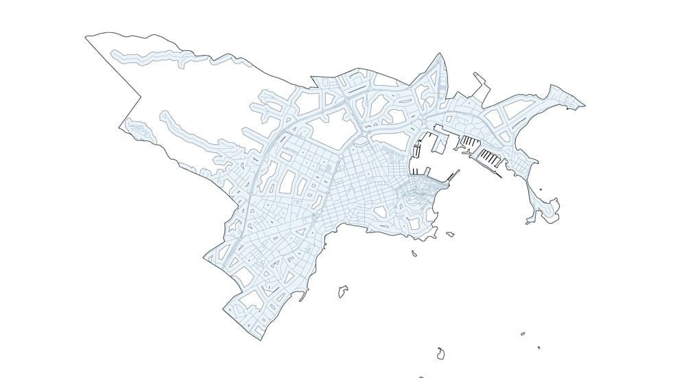
The first session was a four-hour hands-on lab building a population-density choropleth of Spain in QGIS.
Subsequent sessions covered CRS changes, joins, field calculations, print composer, vector operations (intersect, clip, dissolve, buffers), and raster workflows including CSV imports and heatmaps.
Key decisions
- Kept the course fully open source so methods and files were transparent and easy to reuse in newsrooms.
- Structured each class around concrete editorial tasks rather than software-only theory.
- Shared each module as a standalone gist with exercises to support asynchronous learning.
Result
Students finished the program with working map outputs and a practical GIS starter toolkit for journalism projects.
Impact and learnings
- The material became a replicable foundation for introducing GIS literacy in data journalism education.